Google Maps may be excellent. The app may get me to places in optimum time, it may tell me where I am when I have no idea, but it is not tactile, and it has no sense of history. There is no sense of delight in sitting with Google Maps, no opportunity to appreciate the colour and the print and the design.
It is a delight to sit with a real map. It is a delight to spend time following each road, noting the features of each settlement, tracing the course of each river, examining the route of each railway, pondering how close were places that seemed distant and, sometimes, how distant were places that seemed familiar.
The fascination goes back to childhood days, perhaps it began with tales of pirates and maps of buried treasure, perhaps it was about the stories of armies advancing or navies sailing. Perhaps it was the maps of the journeys of Saint Paul at the back of the Bibles we used at High Ham Primary School.
Maps have become as fascinating as a novel, though they are perhaps more like a history or a biography. Maybe, a memoir would be the most accurate description of their capacity, the thoughts they evoke are part autobiographical, part impression, and part plain misremembering. Sheet 177 of the 1930 Revision of the Ordnance Survey with later corrections, first published in 1946 which covers south Somerset and west Dorset has become the history and autobiography of home.
Roman buildings are common on maps of the area. Growing up in sight of the site of a Roman villa that yielded up a fourteen foot square mosaic floor which is a centrepiece in the county museum, the Romans were taken for granted when I was young. Only decades later is there appreciation of the rich and deep heritage that lay all around.
A thousand years after the Romans came the medieval parish churches. An imaginary tour of the parishes around Langport is a journey through the rites of passage, baptisms, weddings, funerals. The buildings will outlast the Church of England, which is in its final generation in most local communities. Perhaps there will be new ceremonies to replace the bland Twentieth Century language of the Anglican Prayer Book, perhaps, like the French, there will be a devising of a secular liturgy with which to mark solemn moments.
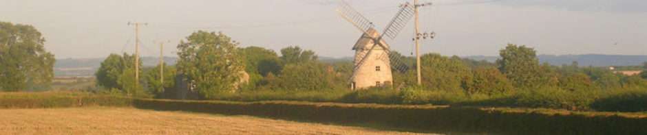
Much more recent are the villages, houses and buildings dating from the Eighteenth Century onwards. An imaginary tour of the roads and lanes around our village brings recall of people who lived in particular cottages and farms. Living in a 1920s council house, there was always a certain envy of those who lived in period properties.
The 1946 map represents much of the reality I remember, the world had not changed much between then and the mid-1960s when my memories begin. It is good to look up from the map and stare across the landscape to Pilsdon Pen on the far horizon, lying in West Dorset. At 900 feet above sea level, it is within sight of the sea, and is at the edge of the map. In the countryside between here and there lies a whole world of continuity..